October 20th, 2020
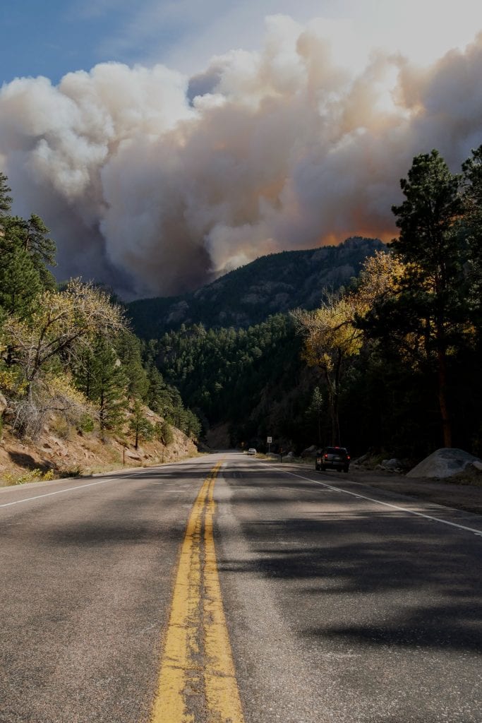
Smoke in the Air in Boulder – How to Follow Colorado Wildfires Live
As this record wildfire season rages on in Colorado, The Colorado Division of Homeland Security & Emergency Management has an active map allowing users to follow where there are wildfires burning, including side and containment level.
Check out the map HERE!