
History of Boulder’s Lakes: Glacial Lake Devlin to Boulder Reservoir

Epic Aerial View of Boulder, Colorado – Elevation: 5,430 ft
Boulder, Colorado, is famous for the Flatirons, hiking trails, and sunny outdoor lifestyle. But some of Boulder’s most fascinating stories are found in its lakes, reservoirs, and historic water systems.
From an Ice Age lake high in the mountains to pioneer irrigation ditches and the beloved Boulder Reservoir, local water tells a story of geology, survival, engineering, and recreation.
The Ice Age Giant: Glacial Lake Devlin
Long before Boulder became a city, glaciers shaped the mountains west of town. During the Pinedale glaciation, a glacier moving through the North Boulder Creek valley blocked the mouth of Caribou Creek, creating an ice-marginal body of water known as Glacial Lake Devlin.
Geological research led by U.S. Geological Survey geologist Richard F. Madole found that Lake Devlin stretched nearly two kilometers and reached depths of roughly 30 to 69 meters, or up to about 225 feet, depending on location. Later research indicates that the lake existed from approximately 31,000 to 14,000 years ago.
For thousands of years, the lake accumulated layers of fine sediment carried by glacial meltwater. These preserved sediments have helped scientists study the timing of Pinedale glaciation and environmental change along Colorado’s Front Range.

Artistically rendered AI illustration showing a possible reconstruction of Glacial Lake Devlin and its glacial surroundings.
Around 14,000 years ago, the natural moraine dam containing Lake Devlin failed, releasing a powerful outburst flood into the North Boulder Creek valley. Evidence of the ancient lake and flood remains preserved in the landscape near Caribou Creek.
Today, the story of Glacial Lake Devlin offers a remarkable window into Boulder County’s Ice Age past. Its ancient sediments and landforms form a geological archive written in silt, clay, stone, and the landscape itself.
Silver Lake Ditch and Wonderland Lake
By the late 1800s, Boulder’s challenge had changed. The issue was no longer glaciers, but water supply. Farmers and landowners needed reliable irrigation through dry late summers, and much of Boulder Creek’s water had already been claimed.

Silver Lake ditch flume
In 1888, J.P. Maxwell and George Oliver helped develop the Silver Lake Ditch system, one of Boulder Valley’s most remarkable water projects. The system brought high-country water from alpine storage reservoirs near the Continental Divide down toward Boulder.

Wonderland Lake
The ditch was an engineering feat for its time. It used wooden flumes along Boulder Canyon and included a tunnel through Elephant Buttes. The Silver Lake Ditch was designed to irrigate about 1,006 acres, and in April 1889, one of its early tasks was watering 1,500 silver maple trees planted along Mapleton Avenue.
This same historic water story connects to Wonderland Lake. The area was once known by names including Mesa Park Reservoir and Degge’s Lake before becoming the peaceful open-space destination Boulder residents know today. The lake and surrounding trails remain one of north Boulder’s most beloved places for walking, birdwatching, photography, and Flatirons views.
Boulder Reservoir: Built for Water, Loved for Fun
Boulder Reservoir tells a more modern chapter. After World War II, Boulder needed a stronger and more dependable water system. The city joined the Northern Colorado Water Conservancy District in 1953, connecting Boulder to the Colorado-Big Thompson Project, which moves water from the Western Slope through the Alva B. Adams Tunnel and Boulder Feeder Canal.
Construction on Boulder Reservoir began on May 1, 1954, on land purchased from the Axelson family’s dairy farm. The project was completed on February 11, 1955, at a cost of $1,158,027. Water began filling the reservoir that April.
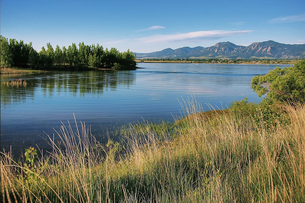
Boulder Reservoir
Although Boulder Reservoir was built for irrigation and drinking-water storage, recreation arrived almost immediately. In 1955, 75 tons of sand were brought in to create the first beach. That first Fourth of July celebration drew more than 1,400 cars, with visitors paying 25 cents to picnic, swim, and enjoy the new community gathering place. By August, boating licenses were already being sold.
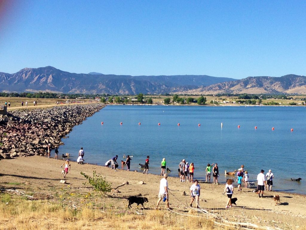
Boulder Reservoir
Today, Boulder Reservoir has a capacity of 13,270 acre-feet, covers about 700 surface acres, and has roughly four miles of shoreline. It remains one of Boulder’s favorite places for swimming, boating, fishing, running, cycling, walking, and watching wildlife.
Why Boulder’s Lakes Still Matter
Boulder’s lakes are more than pretty places. They reveal how deeply the city’s identity is tied to water.
Glacial Lake Devlin shows the power of Ice Age landscapes. Silver Lake Ditch and Wonderland Lake show the ingenuity of early Boulder residents trying to make life possible in a dry climate. Boulder Reservoir shows how modern infrastructure became a beloved recreational landmark.
The next time you walk around Wonderland Lake, swim at Boulder Reservoir, or look west toward the high country, remember this: Boulder’s water has always carried a story. Beneath the sparkling surface is a history of glaciers, farmers, engineers, families, wildlife, and community.