The Mind-Blowing Geology of Boulder
NCAR Building, Flatirons, Boulder CO
Next time you find yourself gazing up at Boulder’s iconic Flatirons, consider this astonishing fact: those towering slabs of red rock were once loose sand, gravel, and river deposits washed down from ancient mountains. Even more incredible, the Boulder area later sat near the shoreline of a vast inland sea that stretched across much of North America.
The story of Boulder’s landscape spans hundreds of millions of years and involves rising mountains, ancient coastlines, dinosaurs, and powerful geologic forces that continue shaping Colorado today.
When Ancient Mountains Dominated Colorado
The story begins roughly 300 million years ago when a range known as the Ancestral Rocky Mountains rose across what is now Colorado.
As these ancient mountains eroded, powerful rivers carried enormous amounts of sand, gravel, and rock eastward. Over time, these sediments accumulated in large alluvial fans at the base of the mountains. Eventually, the deposits hardened into a rock formation geologists call the Fountain Formation.
Today, the Fountain Formation forms the dramatic red rock slabs that make Boulder famous.
If you look closely while hiking near the Flatirons, you can still see pebbles and larger rock fragments embedded within the sandstone—evidence of the powerful rivers that once flowed through this ancient landscape.
When Boulder Sat Near an Ancient Shoreline
Fast forward to approximately 100 to 135 million years ago.
At that time, a massive inland sea known as the Western Interior Seaway covered much of central North America. Colorado sat near the western edge of this ancient body of water.
Shifting shorelines, beaches, rivers, and coastal environments deposited layers of sand that eventually became the Dakota Sandstone, another prominent rock formation visible throughout Boulder County.
In several locations around Boulder, visitors can still find preserved ripple marks frozen in stone—evidence of ancient waves and currents that once moved across the landscape.
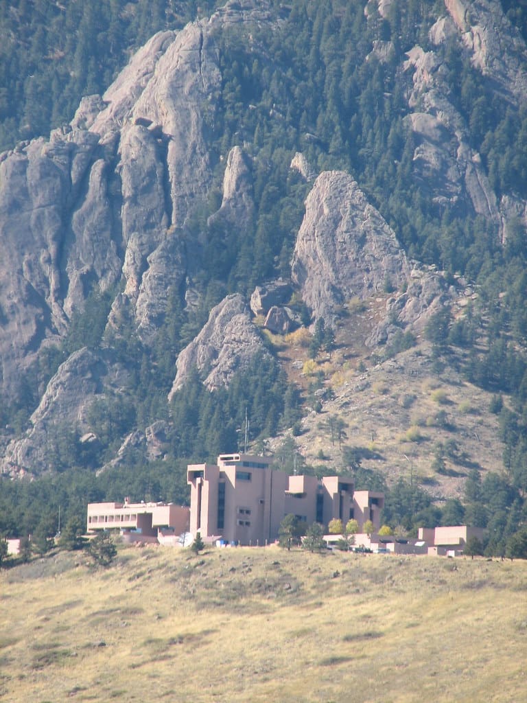
Popular locations to observe these features include areas near Echo Rocks and portions of the trails west of the National Center for Atmospheric Research (NCAR).
Here’s the real mind-blowing part:
If you could travel back 100 million years, you would not see Boulder, the Flatirons, or even the modern Rocky Mountains. Instead, you would likely find yourself standing near the shoreline of a shallow sea while dinosaurs roamed nearby.
The Rise of the Modern Rocky Mountains
Around 70 million years ago, a major mountain-building event known as the Laramide Orogeny transformed western North America.
Immense tectonic forces pushed upward on the Earth’s crust, creating the modern Rocky Mountains. During this process, the layers of Fountain Formation rock were tilted dramatically upward, in some places reaching angles of more than 50 degrees.
These tilted layers are what make Boulder’s Flatirons so distinctive today.
Over millions of years, wind, water, snow, and ice slowly eroded the landscape. Softer rocks wore away more quickly, leaving behind the resistant sandstone slabs that now rise above the city.
The result is one of the most recognizable geologic landmarks in North America.
How the Flatirons Got Their Name
The formations became known as the Flatirons because their triangular shape resembled the cast-iron clothes irons commonly used during the late nineteenth century.
Early residents immediately noticed the resemblance, and the name has remained ever since.
Today, the Flatirons are not only Boulder’s most recognizable landmark but also a symbol of Colorado’s Front Range.
Explore Boulder’s Geologic History Yourself
One of the best places to experience this incredible geology is at the Chautauqua Trailhead.
The Flatirons Loop Trail offers an accessible way to stand directly beneath the towering rock formations while enjoying spectacular views of Boulder.
For a more challenging adventure, hikers can explore the Royal Arch Trail or routes that travel between the First and Second Flatirons.
As you hike, look for:
- Large pebbles embedded in the red Fountain Formation
- Dramatically tilted rock layers
- Sharp transitions between different rock formations
- Panoramic views revealing Boulder’s geologic story
Sunrise and sunset are particularly magical times to visit, when the rocks glow with brilliant shades of red, orange, and gold.
Why Boulder’s Geology Matters
The Flatirons are more than just a beautiful backdrop.
The geologic forces that created Boulder’s landscape also shaped local ecosystems, influenced water flow, determined soil types, and helped define the region’s outdoor culture.
They serve as a visible reminder that Earth is constantly changing. Mountains rise and erode, oceans advance and retreat, and landscapes transform over immense stretches of time.
The next time you hike beneath the Flatirons, remember that you are looking at a story written over hundreds of millions of years.
Those rocks have witnessed ancient rivers, inland seas, dinosaurs, mountain-building events, and countless generations of change.
And they are still telling their story today.